File:M91FG173.JPG
Jump to navigation
Jump to search
Size of this preview: 546 × 599 pixels. Other resolutions: 219 × 240 pixels | 800 × 878 pixels.
Original file (800 × 878 pixels, file size: 161 KB, MIME type: image/jpeg)
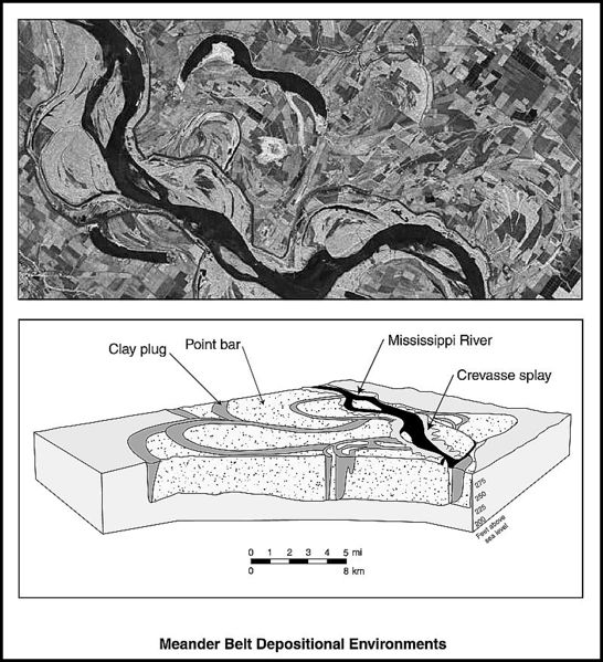
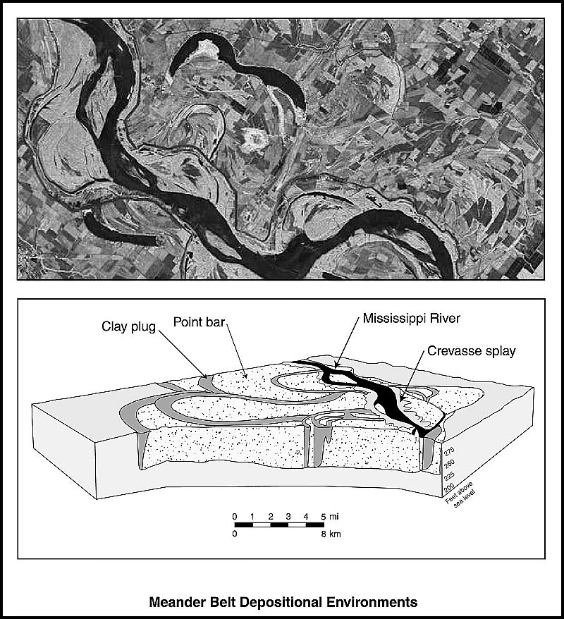
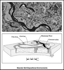
Satellite photo of a fluvial meander belt, United States. Courtesy of the NASA Web site (www.earthasart.gsfc.nasa.gov). The lower diagram shows the internal geometry of the present-day Mississippi meander belt (from Jordan and Pryor, 1992). Reprinted with permission from the AAPG. From Shepherd, M., 2009, Meandering fluvial reservoirs, in M. Shepherd, Oil field production geology: AAPG Memoir 91, p. 261-272.
File history
Click on a date/time to view the file as it appeared at that time.
| Date/Time | Thumbnail | Dimensions | User | Comment | |
|---|---|---|---|---|---|
| current | 16:11, 31 July 2015 | | 800 × 878 (161 KB) | Molyneux (talk | contribs) | Satellite photo of a fluvial meander belt, United States. Courtesy of the NASA Web site (www.earthasart.gsfc.nasa.gov). The lower diagram shows the internal geometry of the present-day Mississippi meander belt (from Jordan and Pryor, 1992). Reprinted w... |
You cannot overwrite this file.
File usage
The following page uses this file: