File:Seismic-data-acquisition-on-land fig1.png
Jump to navigation
Jump to search

Size of this preview: 800 × 525 pixels. Other resolutions: 320 × 210 pixels | 1,008 × 662 pixels.
Original file (1,008 × 662 pixels, file size: 615 KB, MIME type: image/png)
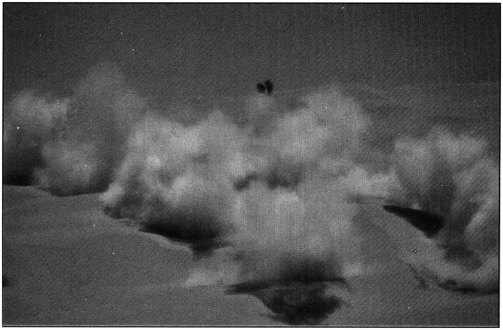
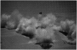
Copyright of: Western Atlas International
Dynamite shot pattern being detonated in the desert. (Photo. Copyright: Western Atlas International.
File history
Click on a date/time to view the file as it appeared at that time.
| Date/Time | Thumbnail | Dimensions | User | Comment | |
|---|---|---|---|---|---|
| current | 16:15, 14 January 2014 | | 1,008 × 662 (615 KB) | Importer (talk | contribs) | {{copyright|Western Atlas International}} Dynamite shot pattern being detonated in the desert. (Photo. Copyright: Western Atlas International. Category:Geophysical methods |
You cannot overwrite this file.
File usage
The following page uses this file: