File:M31F25.jpg
Original file (1,087 × 1,348 pixels, file size: 940 KB, MIME type: image/jpeg)
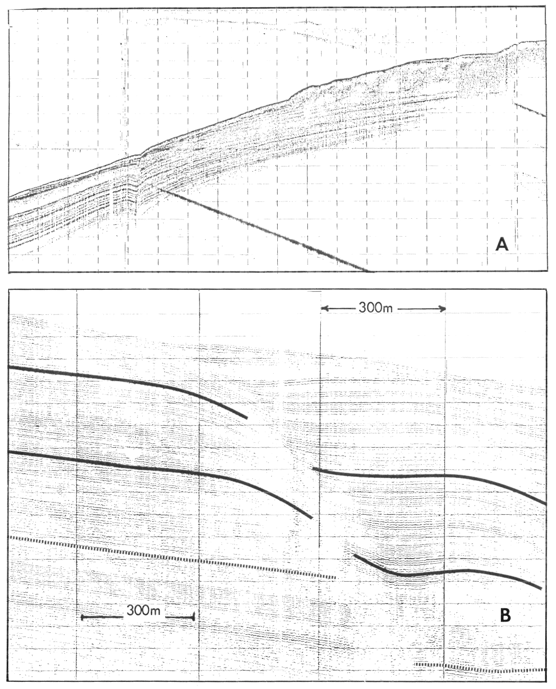
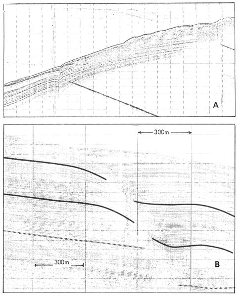
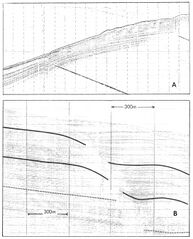
High-resolution seismic record run across an active growth fault seaward of the mouth of South Pass, Mississippi River delta. A. Seismic line showing active growth fault seaward of a large upslope mudflow. Note the increased thickness of sediment on the downthrown side of the fault. Horizontal scale is 300 m between shot points and vertical scale is 25 milliseconds per time line, or 19 m (62.5 ft). B. Detailed subbottom seismic record run across an active growth fault. Note the presence of a rollover structure and the increased accumulation of sedimentation on the downthrown side of the fault. Horizontal scale is 300 m between shot points and vertical scale is 10 milliseconds per time line, or 7.6 m (25 ft). Coleman, J. M., and D. B. Prior, 1981, Deltaic environments of deposition in P. A. Scholle and D. Spearing, eds., Sandstone depositional environments: AAPG Memoir 31, p. 139-178.
File history
Click on a date/time to view the file as it appeared at that time.
| Date/Time | Thumbnail | Dimensions | User | Comment | |
|---|---|---|---|---|---|
| current | 18:21, 18 August 2014 | | 1,087 × 1,348 (940 KB) | Molyneux (talk | contribs) | High-resolution seismic record run across an active growth fault seaward of the mouth of South Pass, Mississippi River delta. A. Seismic line showing active growth fault seaward of a large upslope mudflow. Note the increased thickness of sediment on th... |
You cannot overwrite this file.
File usage
The following page uses this file: