Difference between revisions of "File:Conversion-of-well-log-data-to-subsurface-stratigraphic-and-structural-information fig1.png"
Jump to navigation
Jump to search
({{copyright|Don Clarke, Dept. of OH Properties, City of Long Beach, CA)}} Surface projection of well course for a nominally vertical well. Copyright: Don Clarke, Dept. of OH Properties, City of Long Beach, CA). Category:Geological methods) |
(No difference)
|
Latest revision as of 16:37, 14 January 2014
Copyright of: Don Clarke, Dept. of OH Properties, City of Long Beach, CA)
Surface projection of well course for a nominally vertical well. Copyright: Don Clarke, Dept. of OH Properties, City of Long Beach, CA).
File history
Click on a date/time to view the file as it appeared at that time.
| Date/Time | Thumbnail | Dimensions | User | Comment | |
|---|---|---|---|---|---|
| current | 16:37, 14 January 2014 | 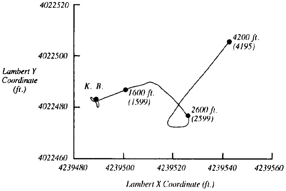 | 948 × 634 (26 KB) | Importer (talk | contribs) | {{copyright|Don Clarke, Dept. of OH Properties, City of Long Beach, CA)}} Surface projection of well course for a nominally vertical well. Copyright: Don Clarke, Dept. of OH Properties, City of Long Beach, CA). Category:Geological methods |
You cannot overwrite this file.
File usage
The following page uses this file: