File:Using-and-improving-surface-models-built-by-computer fig11.png
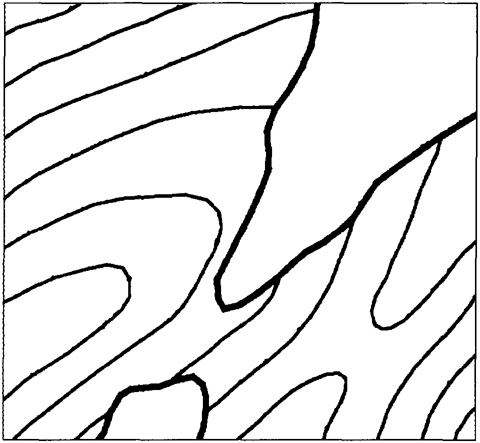
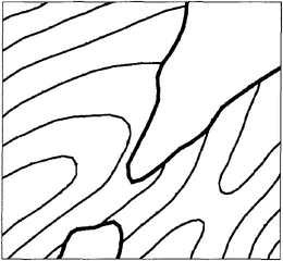
Revision as of 22:32, 13 January 2014 by Importer (talk | contribs) (Map showing contours and subcrop lines. Category:Integrated computer methods)
Size of this preview: 649 × 599 pixels. Other resolutions: 260 × 240 pixels | 951 × 878 pixels.
Original file (951 × 878 pixels, file size: 13 KB, MIME type: image/png)
Map showing contours and subcrop lines.
File history
Click on a date/time to view the file as it appeared at that time.
| Date/Time | Thumbnail | Dimensions | User | Comment | |
|---|---|---|---|---|---|
| current | 22:32, 13 January 2014 | | 951 × 878 (13 KB) | Importer (talk | contribs) | Map showing contours and subcrop lines. Category:Integrated computer methods |
You cannot overwrite this file.
File usage
The following page uses this file: